| <-- Previous | ^ Up ^ | Next --> |
|
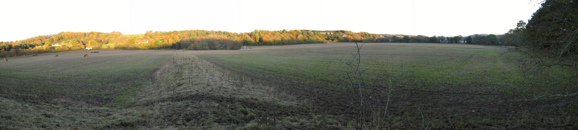
This is a panoramic view of the flat flood-prone 80-acre field just east of the River Clyde, half a mile north of modern Crossford (and it's old stone one-lane bridge across the Clyde). This view ranges from northeast around to the south. After tracing the routes down to the river on the other side postulated that their could have been two crossings, a ford downstream which was superseded by a bridge upstream of here, an aerial photo of this field was sent to me. The crop marks in the aerial photo show one corner and portions of two sides of a rectangular defensive trench. It is located exactly between the two postulated river crossings, 100 to 200 feet northeast of the camera that took this picture. The aerial photo crop marks also show several swaths of poor soil that might be due to road gravel that has been scattered by modern plowing. The soil was probed at two spots about 200 feet southeast of where this picture was snapped and both showed a solid pattern of bottoming stones. To view this panoramic picture, scroll to the right. --> |