| <-- Previous | ^ Up ^ | Next --> |
|
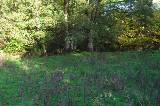
This view is of the flat ground immediately before the Cander Water. It is possible that there was a bridge across the former flow of the Cander. If so, there might be evidence of a bridge beneath this ground. It would be an interesting site for electronic subsoil scanning. Having found this plausible crossing of the Cander, one wonders about the motive for building it less than a mile downstream of the original crossing (the one on the straight route identified in the 1700s and further documented in the mid-1900s near Gill Farm). The Roman army seemingly occupied Scotland for less than ten years following their invasion in AD 82. About 50 years later the army reoccupied the abandoned forts. It is reasonable that they then performed maintenance on the road network. After a half century, the Cander crossing could have easily been destroyed by floods. I have seen fences washed out by the shifting sand banks of the Cander. At the potential Cander crossing shown here, the valley has narrowed so that there is solid ground on each side, but before the river falls into a steep-sided ravine, starting about 100 yards to the left. This would seem to be a more stable and permanent crossing site than the one the Romans hastily selected immediately following the initial invastion. |