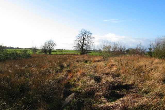
A few miles south of Stonehouse, west of Dykehead Road, this view is looking west-southwest toward Loudoun Hill (which is not visible here). In the mid-1700s William Roy first documented this as the route of the Roman road built in AD 82 or very soon thereafter. That military road connected the Roman fort at the base of Loudoun Hill with the Roman fort on the bank of the River Clyde near present-day Carstairs (a few miles east of Lanark).
There are ruts in the grass here from a heavy tractor driving on sodden soil. In the foreground of this photo is a rock exposed on the surface. It could be a Roman bottoming stone that has been brought to the surface by modern farm machinery or left on the surface by amateur archeologists.
|
|