| <-- Previous | ^ Up ^ | Next --> |
|
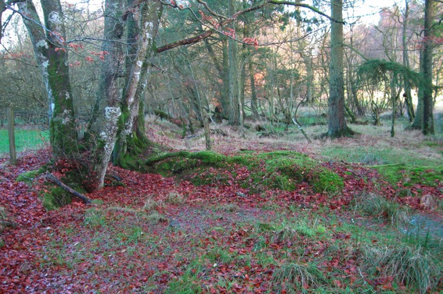
The fence along the left of this picture is a continuation of the straight field boundary hedge back near Dykehead Road. This point is about a half mile east-northeast of Dykehead Road. The view is looking along the route first identified by General Roy 250 years ago. At this spot it certainly doesn't look like a Roman road. About 100 feet in front of where this photo was snapped, the connection route seems to begin. |