| <-- Previous | ^ Up ^ |
|
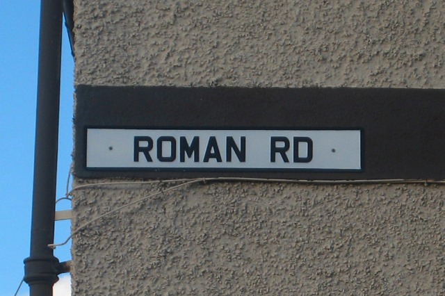
That is the end of the pictures of the eight-mile connection route that has been explored between the long-known Roman route south of Stonehouse to the long-known Roman route east of Carluke. If you would like to see the written reports and maps of the route explored, click the following link: Roman road reports The sign in this picture isn't along the route explored. But I've thrown the picture in here anyway. About ten miles to the northwest, in the modern town of Motherwell, there is a residential street called Roman Road. It is an accurate designation, since it is along the line of the Roman road from their fort near Carstairs to their Bothwellhaugh fort just beyond Motherwell. The street sign on the side of a house was photographed on a day when there was blue sky. And by the way, the "Roman Road" image used on the web site home page is a photo of a street sign in the center of the northwest Glasgow suburban town of Bearsden. That street named Roman Road is along the Roman military route immediately behind the defensive wall built by the Romans that crossed Scotland, that is now known as the Antonine Wall. |