|
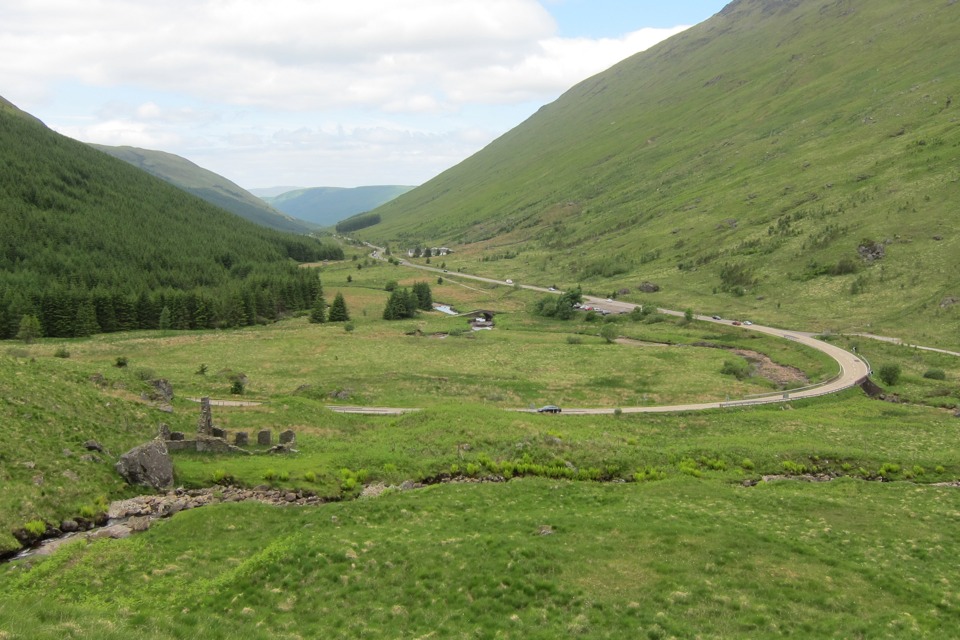
At the center of this picture is a stone bridge built about 260 years ago, after the Highland uprising in 1745. It was part of a land route from Glasgow to the Argyll peninsula for the British army. Just to right of the old bridge is a large parking area beside the modern road, which is where I parked. I walked across the modern highway and went perhaps a hundred yards up the track visible at the right edge of this picture. Then I crossed the river, the Kinglas Water, which was about 20 feet wide, by walking on flat dry stones. I learned two months later that the water in that river isn't always as low -- it August the river couldn't be crossed and neither could the burn seen in the foreground. On the left of this picture, just across the burn, there are some remaining stone walls of a Highland home.
|
|